Hiking the Deep Lake Hills

Hikers can take the traditional route up to Deep Lake and back or they can extend the route, using additional trails in the area. When the trailhead to Deep Lake was moved down to where Ida Lane meets the new subdivision, new trails wind through the ridges and gullies. A sign calls this the Deep Lake Extended Loop. Part way up this single track, the trail splits into two options. The left route climbs up onto the bench and this is the most direct access to the Grasslands Community Trail. The trail to the right continues to head to Deep Lake, working its way through the gullies.

Near Deep Lake, there are more trail junctions. We chose to take a steep trail to the top of the hill above the lake. This is the best viewpoint in the area and we made it our rest stop. To the west, the Lac du Bois Grasslands climb to the North Batchelor Range.

At the north end of the hill, we had views to the North Thompson River as it winds past Heffley Creek and Rayleigh.

To the northwest we had views to the TransMountain Pipeline and the forested hills of the Tranquille Plateau beyond.

We hiked down a trail in a gully to the shores of Deep Lake, then turned north on a single track trail (unsigned).

At the end of the ridge on our eastern side, the Around the Mountain Trail picks up, bearing south under the eastern side of the hills. We worked our way back to the start, an 8.2 km hike on a cloudy September day.
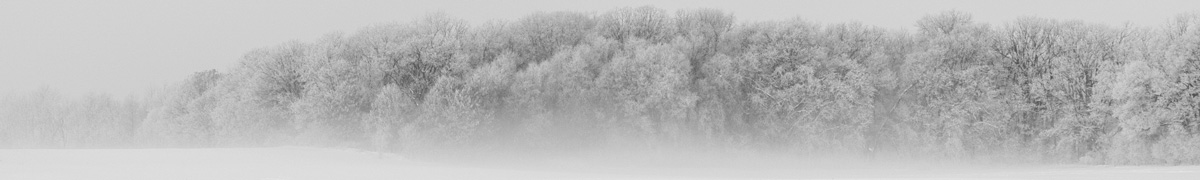
A few images are shared here. Click an image for a lightbox view and a caption.


More Information:
- Deep Lake Trail
- Deep Lake video
- or use the Search Bar for more posts
Comments
Hiking the Deep Lake Hills — No Comments
HTML tags allowed in your comment: <a href="" title=""> <abbr title=""> <acronym title=""> <b> <blockquote cite=""> <cite> <code> <del datetime=""> <em> <i> <q cite=""> <s> <strike> <strong>